Mining Services Unit


Processing of Terrestrial And Aerial Geophysical Data

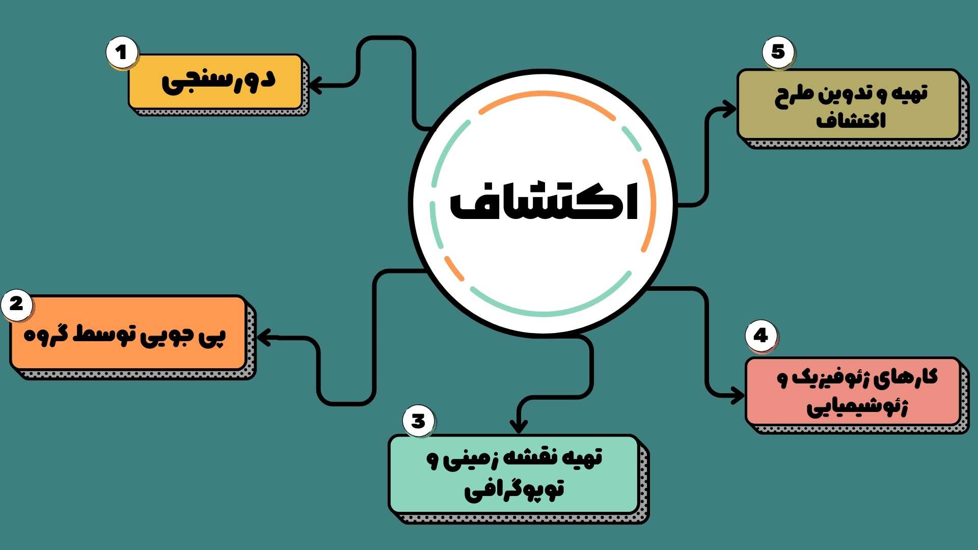
Preparation of geological maps for the implementation of exploratory projects
- Design, interpretation and modeling of terrestrial magnetometry in order to explore mines or identify geological structures
- Finding metal and non-metal deposits using geological and satellite data
- Designing and collecting data of specific resistance (resistivity) and polar polarization (IP) in order to explore mineral deposits and underground water sources.
Interpretation, Modeling and Aerial Geophysical Data
Interpretation, modeling and aerial geophysical data (magnetometry, radiometry and electromagnetism) for the exploration of mineral deposits and preparation of subsurface geological maps
- Supply of equipment, installation and commissioning of mine exploitation lines
- Processing studies and carrying out turnkey projects of mineral processing


